Hypothetically, the worst happens.
Your family is going to be immediately displaced due to invasion, an EMP attack, a hurricane, you name it. It’s looking bad out there.
How do you deal with it?
You grab a bug out bag, you secure your loved ones, and you hit the road far away from disaster. Now that you’ve got the pavement and gravel beneath your boots, what are you going to do?
You need to know some land navigation basics, my friend. It’s not enough to use a GPS: you have to know how to primitively circumnavigate the landscape, how to get from A to B while still staying in one piece. You need a bit of help, and that’s what this quick little guide is here to do.
Some Disasters Might Have a Huge Impact of Navigation
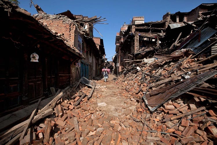
Disasters and emergencies are different. An emergency may leave the landscape intact, but a disaster could completely terraform everything that you see around you.
Floods, riots, terrorist attacks, nuclear war; there’s a lot to be worried about, and tons of things that could change the way we navigate our country.
As you’ll learn in this guide, some of the most important markers of familiar areas are landmarks and symbols.
The issue is that a major disaster, something on a grand scale, could completely change how you recognize currently familiar areas. It can change everything, which is why you need to be prepared for a whole new world.
Navigation will be impacted if you go off of familiarity alone, which is why you need to understand how to disassociate yourself with nostalgic feelings for certain areas, and treat everywhere like it’s the first time you’ve seen it.
Reliance on GPS and Similar Technologies
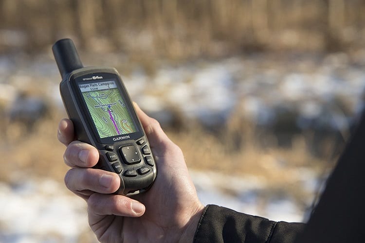
Is it good to rely on GPS?
No! Is it extremely helpful?
Well of course it is; there’s a reason it’s been so widely adopted across the entire world. Some people can’t even make it across town without a GPS installed, but that sense of being directionally challenged won’t do you any favors in the wilderness.
We rely on GPS too much. It’s okay to use it, but we need navigation skills that we can use in different ways when SHTF.
Part of the problem is the introduction of smartphones. There’s 3.5 billion of them, they all come with maps or GPS systems of some sort, and they make it incredibly easy to navigate without actually needing to know how any of that tech works.
GPS has made its way into just about every profession and sport across the board. In fact, you’ll even find plenty of reviews for fishing watches that help you locate fish, and include a GPS tracker in them.
Hiking watches can store hundreds of custom trails, and come with preloaded cards to help you navigate the beaten paths in forests and popular camping spots.
It’s all useful, and it’s convenient… until it isn’t. There’s a slim chance that 3.5 billion mobile GPS devices, not to mention TomToms, countless satellites, and the internet will all fail at once, but it’s still a chance.
And it’s one that you can prepare for with a few hours of basic navigation training, and a few hours every couple years of maintaining that knowledge.
Simple but Effective Means of Navigation
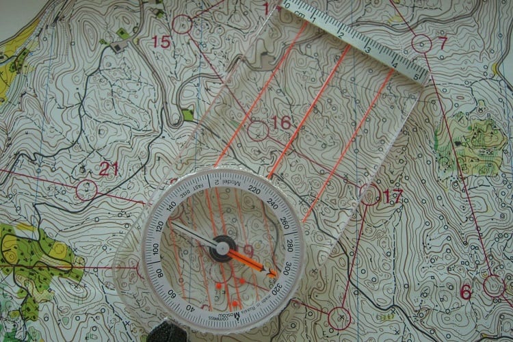
It’s not as easy as using a GPS, but these methods of navigation will surely take you from where you are to where you’re going. It just takes a bit of mastery to really get this down pat, but you could start learning as early as today.
Maps
You might have already guessed this one, but maps are basically your go-to item. While they can be useless without a compass to help you right your course and find where you are, they give some level of geographical awareness.
I’m talking about paper maps, mind you; not GPS or smartphone maps. A localized map that’s relevant to your living area, or the area you plan on bugging out in, will be invaluable for navigation.
For new preppers or those who have never had to navigate the land before, a map shows you various altitudes, routes, and lets you plan accordingly for difficult areas of travel.
Compasses
Compasses can work on their own, but are best suited to work with maps. A compass displays cardinal directions in a 360° format. North is 0°, East is 90°, South is 180°, and West is 270°.
These are displayed on the compass rose, which is the plate that sits just beneath the needle and shows you which direction is which. Otherwise, all you would be able to do is find the northern point. For new navigators, that’s not enough to properly carve a path.
You have two types of compasses that you should use: a magnetic compass, which always points north, or a lensatic compass that’s used with maps to help you navigate over specific areas with excellent accuracy.
Celestial Navigation
Celestial navigation refers to using the celestial bodies in the sky to find out where you are, where you need to go, and how to get there. While this form of navigation hasn’t really been used in a commercial sense in the 1980s, the United States military still uses this for its accuracy.
For proper celestial navigation, you would use a sextant: a rotating device that helps you find your relative location to a certain celestial body.
By measuring your location against the curvature of the earth, you get a generalized area to travel to. Over time, you can fine-tune your celestial navigation skills to reach precise areas with pinpoint accuracy.
What to do if You Don’t Have Any of the Above?
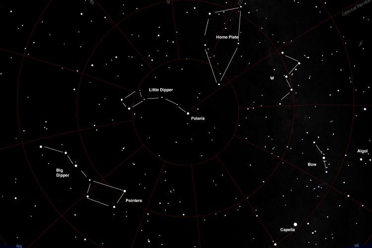
You can navigate even without tools. It’s not as easy as using a sextant, but it can be done. Celestial navigation requires you to know eight stars or constellations to be able to orient where you are in the world, similar to the eight points on a compass.
- Polaris, the north star.
- The Big Dipper, stars that point the way to Polaris.
- Cassiopeia, opposite of the big dipper on the other side of Polaris.
- The Charioteer, another constellation that assists in locating Polaris.
- Pegasus, which points to Polaris.
- The Northern Cross, which also points to Polaris.
- The Orion Constellation, known as Orion’s belt. The leading star will always rise in the east and set in the west regardless of your location on earth.
- Scorpius, which points south no matter what.
Polaris is pretty important, in case you haven’t noticed. Polaris, The Orion Constellation, and Scorpius are the most important as they give you a way to understand what true north, south, east, and west are.
Handy Tips on Determining Cardinal Direction
Cardinal direction refers to the main navigational points, although this term is normally interchanged specifically with navigating by the sun.
Because of the way the year changes (and that blasted Daylight Saving Time is still in effect for some reason), it’s possible to get confused. These tips should help you navigate using the sun far better.
- Start out simple: understand that the four primary cardinal directions are north, south, east, and west; you don’t have to overcomplicate anything at this point. Orient yourself by using a compass so that you’re aiming north. This makes everything easier.
- If you’re doing this in the morning, raise your right arm so that it’s pointing towards the sun. I want you to do this so that you’re used to feeling what it’s like to rely on the sun. We used the compass to aim us north, but we’re not going to rely on that for everything. You’re facing north, the sun is rising in the east; get used to that.
- Always have a watch. That sounds simple, but most people rely on their smartphones for the time, and that’s not as helpful in a SHTF situation.
- If you’re forgetful, use a mnemonic. That’s basically an acronym in the order of the cardinal directions. NSEW, Never Eat Sandy Waffles, or something silly like that. It may feel ridiculous now, but this helps.
- Learn to travel at night via the stars. If you had to keep moving from morning to night and back to morning again, you want to be fully confident that you’re travelling the right way at all hours. If you can navigate by the stars after learning how to navigate by the sun, it’s just like turning a page: you’re reading the same book, just a different chapter. This helps you stay true to your direction regardless of what time of day it is.
Learning How to Draw Simple Yet Effective Maps
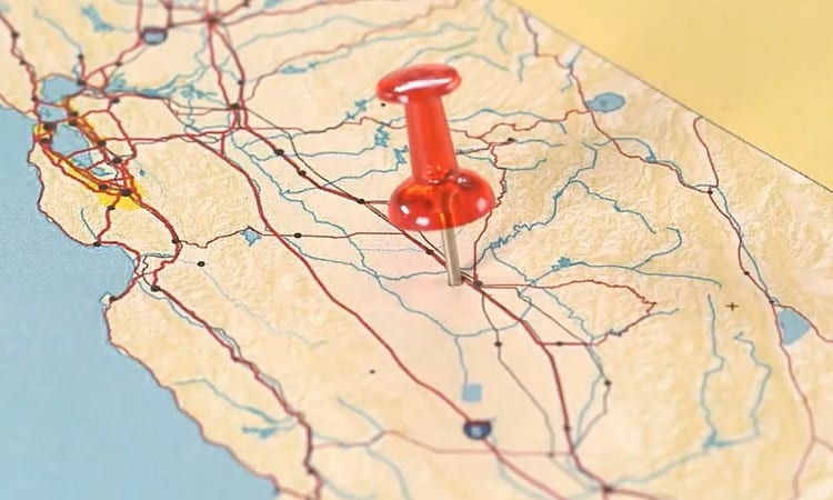
Making a simple map to help you discover your surroundings is definitely a good idea, but without some sort of scale or system in place, you’re just scribbling. Take these tips into account when you’re trying to map out your new surroundings.
Scaling
If you make symbols on your map different sizes, it’s going to get confusing.
You need to know how big something is on a map, how far away it is from another POI, and how to read your map to say “This is X far away from X.” Learning to scale on a map can be done by practicing artistic drawing.
If you’ve ever seen a well-drawn map in prepping videos and tutorials, you might be thinking that it looks like it was done by a machine. In actuality, it’s just done proportionately, and you can learn how to do the same thing through videos like these.
Start with artistic drawings and after a few weeks you’ll be able to make a half-decent map. A month or two in and you’ll make fantastic small-scale maps.
Easy Recognizable Markings
Making your own map requires a legend. The legend gives you a series of identifiable symbols that you can place all over the map, giving the map reader a clear indication of what a specific area is or what it is used for.
This doesn’t have to be complicated. There are only so many symbols you need on a navigation map. If you’re in a woodland area after bugging out, you can make your map as you travel and make markings for rivers, hills, hunting grounds, your campsite, and anything else of value.
Landmarks
Landmarks are going to be the biggest, most important part of making a map.
Someone can look at a map, not know which way is north or how to read a compass, but say “Hey, I’ve seen that before.” The power of your own memory is greater than the ability to decipher a map and determine where you are and where you’ve been.
In fact, landmarks are so important that they’re used as a safety and survival tool when teaching people how to escape kidnappers.
If you can identify landmarks, you can string together a series of locations in your head and work back how to get there, or at least have some sense of your whereabouts after relocating that landmark.
The difficult part is having the artistic ability to actually outline these landmarks effectively. You don’t want to butcher what they look like since they’ll be important for backtracking later on, but you don’t want to make them too large and eat up a big portion of visible map space either.
Practice by drawing small, detailed illustrations on paper to hone your ability to make better maps.
Are Navigation Courses Worth It?
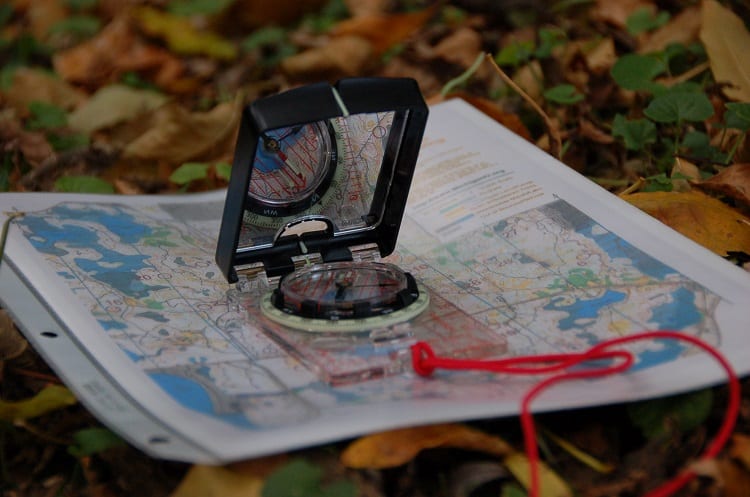
Well, you’re reading free educational material about navigation right now, right? It’s always worthwhile to take a class or lesson on something that you don’t fully understand.
That being said, be wary of “entrepreneurs” who try to sell you overpriced courses. You can find perfectly cost-effective courses or free online material depending on what you need.
Marine navigation, compass mastery, map reading, sextant use – you can find courses for all of those on Udemy for dirt cheap. Seriously, you could learn four new skills every single week for a whole month without breaking two Benjamins.
With the amount of free information we have online nowadays, you can view digital courses as a resource round-up: you don’t have to search for anything, it’s all in front of you in a linear fashion.
All the information displayed in those courses may exist in bits and pieces across a hundred web pages, but the money versus time argument makes most inexpensive courses worthwhile.
How Do I Get Good at the Basics of Land Navigation?
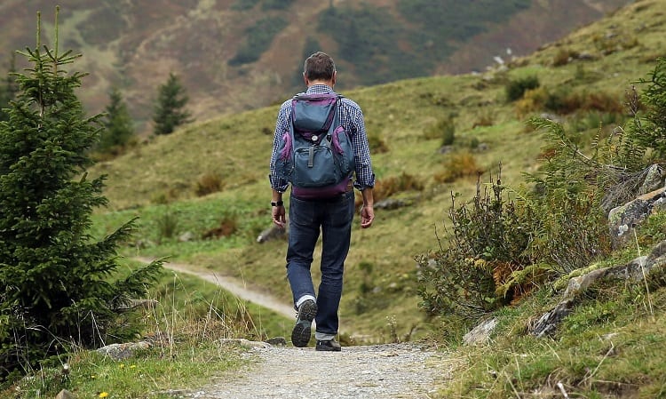
If the nation began collapsing tomorrow and you had to rush into the wilderness with a secondary location in mind, do you know how to get there without a GPS?
Yes, you’ve read everything I put here, but putting it into practice is entirely different. Here’s what I’m suggesting.
Get lost. Seriously, go get lost in the woods with a backup GPS on you, but don’t use it unless you absolutely have to. Set a timer on your watch for a few hours so that you know when it’s been long enough, take out the GPS, make it home, and try again tomorrow.
You’ll need some help with this. Get a friend to select an area nearby to your home where there’s tons of dense woods.
Have them drive you there (maybe with a blindfold on) and drop you off on the side of the road, having you face into the woods without looking behind you (so you don’t get familiar with the road/area).
Walk straight for no more than thirty minutes, and spin around a few times. Use that big brain of yours and the skills you’re trying to learn to get out of there. Find a clearing in the trees to see where the sun is, use your lensatic compass, pull out a map; now’s your time to shine.
Mastering land navigation isn’t easy. The USMC masters land navigation, but it’s never an overnight success. It takes time and dedication to be able to get it down pat. The only way you’re going to get better is by trying.
Once you’re forced into a situation where you have to use it (and let’s hope that day never comes), you want to be so keen at navigation that you can direct your party without second-guessing yourself. In a state of panic, you’re the rock, and your navigation skills are what people will rely on.
Finding Your Way No Matter What
Using maps, compasses, and the lay of the land to make it from wherever you are now to wherever is safe. That’s what a true prepper and survivalist is capable of, and now you know the basics.
Putting this into practice is definitely a different story. Reading about it is good, but now I want you to take some time and put these skills to use, hone them, and sharpen them into something you can use before a disaster strikes.


[lasso rel="emergency-preparedness-more-a-manual-on-food-storage-and-survival-2nd-edition-revised-and-updated" id="35334"]